 Image 1 of 1
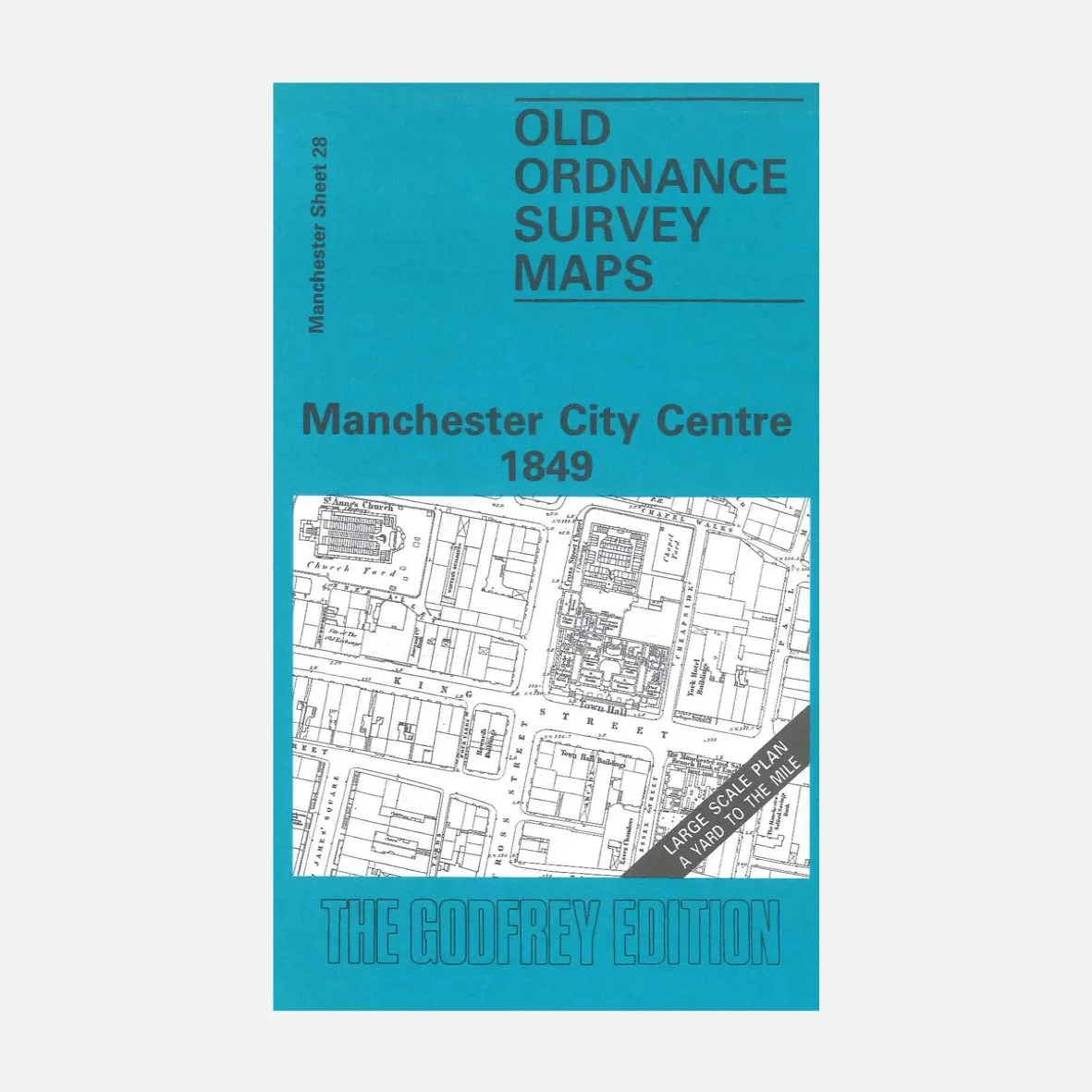
Another one of our favourite maps, because so much has changed since 1849, plus there’s an immense amount of detail in this detailed reproduction of the 1849 Ordnance Survey map of Manchester City Centre) - the same era many of our tours explore.
See the city as it was during the height of the Industrial Revolution, when mills, markets and railway lines transformed its landscape.
Originally surveyed by the Ordnance Survey and now faithfully reproduced by Alan Godfrey Maps, this extremely detailed map covers a central area of Manchester, including streets such as Deansgate, King Street, Mosley Street and Market Street. Coverage stretches from Gartside Street eastward to High Street, and from Blackfriars Street southward to Peter Street. Major features include St Mary's church, Deansgate Shambles, St John's church, Tabernacle, New Jerusalem church, St Anne's church, Friends Meeting House, Town Hall, The Exchange, Manchester Mechanics Institution, Manchester Royal Institution, Post Office, The Union Club, The Portico, St James church etc..
Ideal for history lovers, urban explorers, or anyone curious about how Manchester grew… a perfect companion to our walking tours or a unique gift to frame and display.
Folded paper map, approx. 15" × 10". Printed in the UK.