 Image 1 of 1
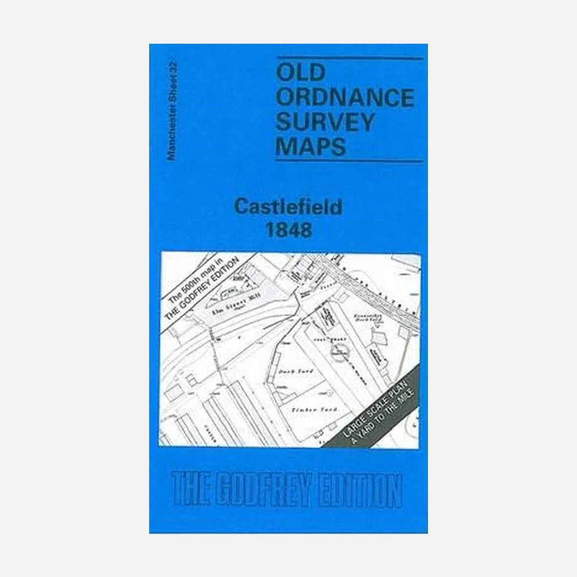
This highly detailed reproduction of the 1848 Ordnance Survey map shows Castlefield during the height of the Industrial Revolution, when canals, warehouses, viaducts and railway infrastructure were transforming what had once been a Roman frontier into the beating heart of industrial Manchester.
Originally surveyed by the Ordnance Survey and faithfully reproduced by Alan Godfrey Maps, the map covers the Castlefield basin and surrounding area, including the Bridgewater Canal, Rochdale Canal, canal warehouses, wharves, locks, viaducts, and the dense web of early railway lines converging on Liverpool Road. It also reveals surviving traces of the Roman fort at Castlefield, alongside mills, yards, foundries and workers’ housing.
Perfect for history lovers, urban explorers, or anyone fascinated by how infrastructure shaped the city… an ideal companion to our Castlefield walking tours, or a striking piece to frame and display.
Folded paper map, approx. 15" × 10". Printed in the UK.