 Image 1 of 1
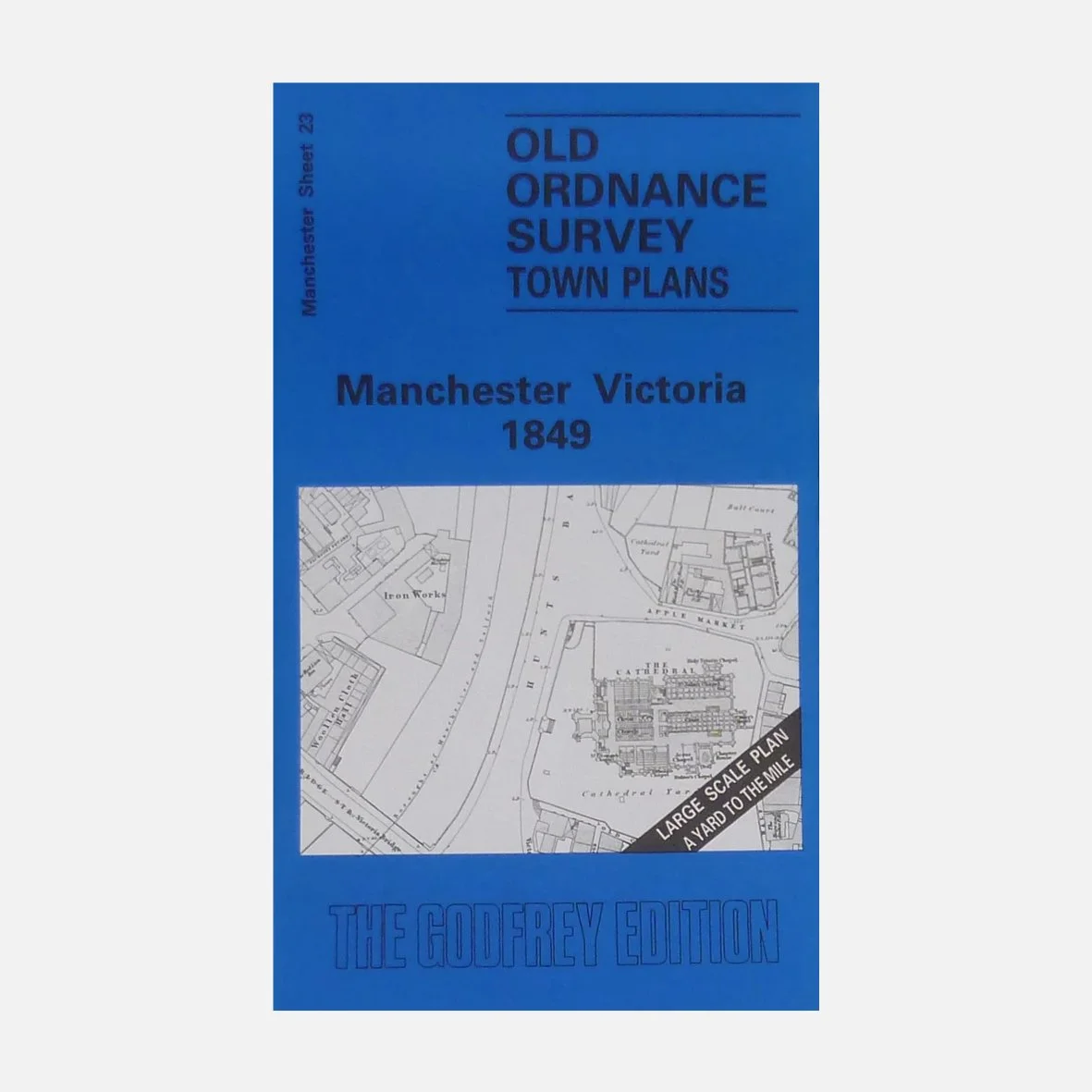
One of our favourite maps, because so much has changed since 1849, plus there’s an immense amount of detail in this detailed reproduction of the 1849 Ordnance Survey map of Manchester (Victoria) — the same era many of our tours explore.
See the city as it was during the height of the Industrial Revolution, when mills, markets and railway lines transformed its landscape.
Originally surveyed by the Ordnance Survey and now faithfully reproduced by Alan Godfrey Maps, this beautifully printed sheet captures everything from the Cathedral and Exchange to the maze of streets around Shudehill, Angel Meadow and the River Irk.
Ideal for history lovers, urban explorers, or anyone curious about how Manchester grew — a perfect companion to our walking tours or a unique gift to frame and display.
Folded paper map, approx. 15" × 10". Printed in the UK.